Have you ever wanted to be able to track your previous flights?Well it is very simple and you can do it in a few minutes with Google Earth that is free to download to your PC. Just use the Free version.
You will also need software to fetch the data from your GPS. There are many available if you did not get one with your GPS . EasyGPS is a free one you can download and it works well. Also this is invaluable to you to save your waypoints so you have a copy in the case that you change GPS's and you can upload your own waypoint quickly. Jusdt save your tracks into a folder in your PC. I created one named GPSDATA.
You have to have your "TRACK" feature enabled in your GPS as well .
Next - go to GPS Visualizer set your altitude options as you like and then go to Upload your GPS data on right side and click browse, SELECT the data you just saved in your GPSDATA folder then Click Create KML file . It will take a few seconds and a Link will appear and if you double clik it then Google Earth will open and your data will be displayed . You can also right click this link and "save as" into your gpsdata folder.
Here is a series of a trip below, just follow the "NEXT" for next picture.
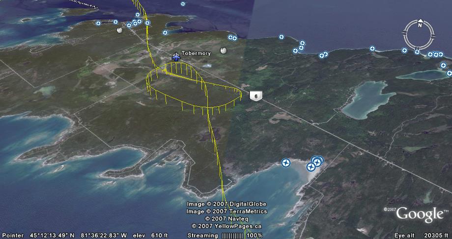
GPS track and approach into Airport Tobermory , Ontario
 GPS plotting onto Google Earth